
The main aim of the project is to establish and analyze layers of the city as a complex assemblage. Tbilisi, once a celebrated “city of gardens” in the 17th to 18th centuries lost most of its gardens with its destruction in 1795. Some ideas of the Garden City movement of the early 20th century have been envisioned in the Soviet Tbilisi master plan of the 1934 but never materialized. The competing plans of industrialization prevailed. The landscape became part of the infrastructure and ideology giving rise to “small cities” in the city, where neighborhoods and houses affirmed the status of its inhabitants. New ideas and practices about the rights to “garden”/vacation homes, or of a green resistance emerged creating prestigious, domesticated, wild, formal or informal green spaces. Informal practices developed subverting the official strategies pervading everyday life, architecture, infrastructure, including the use of nature (Manning 2009, Morton, Stuart 1984; Van Asche, Salukvadze 2012).
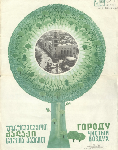
Rivers and green spaces as part of nature and part of the infrastructure is a largely unexplored topic of the human – nonhuman entanglements. In Soviet planning practice, landscape (rivers, gardens and other “green objects”) was treated as part of the urban infrastructure (comp.Patarakalashvili 2015,79). Tbilisi, as many other cities, initially developed along the river. Infrastructural projects changed the direction to a new center away from Mtkvari, rivers became engulfed in the infrastructure (Vera). By the late socialist period, it was clear the urban infrastructure was in crisis. In this period, it was recognized that Tbilisi would need to work hard at “greening” to regain its status as a kalakbaghnari “city of gardens” (Komunisti Nr 82 1980). But the post socialist transition has reversed this greening aspiration again, landscape has become replaced with housings. At the end of the socialist period the “greening” of Tbilisi had reached.
The study will ask how the change in attitude and ideologies affect the landscape (and “waterscape”) of the city in the 20th and 21st centuries, how the informal human practices undermine official strategies, and how the nature responds in unexpected ways. The project will explore the main agents/actants in the city, which affect the urban structure, where infrastructure and landscape are taken together (Gandy 2011, Jensen 2016). The project will analyze the strategies governing the city (view and regulations of city planning) and everyday tactics (maneuvering, informal spaces and informal practices as theorized by De Certeau 1984). Maps and master plans as formal visions of development on the one hand and lived space on the other hand reveal hybrid chains, relations and associations that make up the city (Simmel 1902, Lefebvre 1991, Soja 1996). The project will create visualization of layers (neighborhoods, infrastructure, and landscape/’waterscape’) as something overlapping and mutually constitutive. The study of city structure, its indicators and the following analysis of mobility, industrial zones, green areas, public and private housing, public spaces and their entanglements will show the relation of these elements in the urban pattern.