Vake Area DevelopmentVake Area DevelopmentVake Area DevelopmentVake Area Development
  • Home
  • Research
  • Team
    • Ketevan Gurchiani
    • Ia Kupatadze
    • Tamta Khalvashi
    • Paul Manning
    • Giorgi Kankia
    • Jackson Freeman Mumper
  • Dissemination
    • Publications
    • Talks
    • Media
  • Events
  • Contacts

Vake area redevelopment from 1980-2021 

The comparative analyses 

Project authors: Ia Kupatadze & Giorgi Kankia 

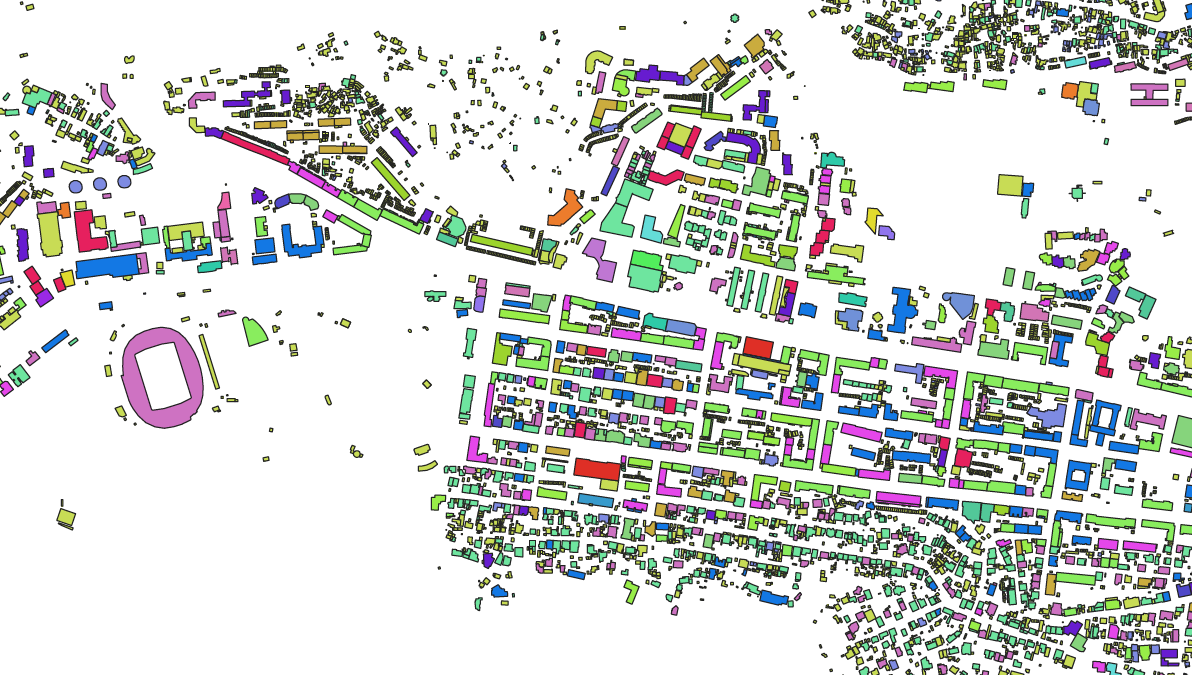
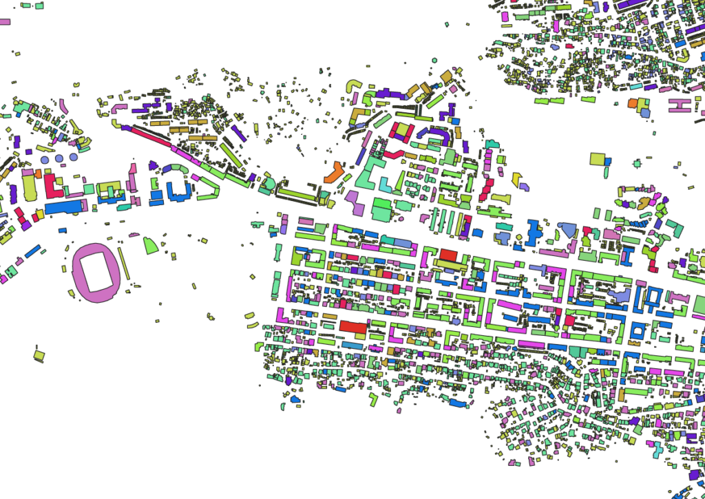
The following material shows how Vake area was redeveloped and changed from 1970-1980 till 2021. It shows footprint growth, height increase and function formation processes. 

Tbilisi Vake area footprint growth 

Vake area development map – number of storeys during 1970-1980 & 2021 and the differences between 1970-80 and 2021. 

 The maps were developed under the Shota Rustaveli National Science Foundation of Georgia grant Tbilisi as an Urban Assemblage  together with Ilia State University students. 

Resources and data was taken from:

1:2000 Scale Soviet Topographical Map
Tbilisi City Hall
National Archives of Georgia
National Agency of Public Registry of Ministry of Justice of Georgia

  • Home
  • Research
  • Team
  • Dissemination
  • Events
  • Contacts
  • Contact

  • (+995 32) 222 00 09
  • Info@Iliauni.Edu.Ge

SHOTA RUSTAVELI NATIONAL SCIENCE FOUNDATION OF GEORGIA